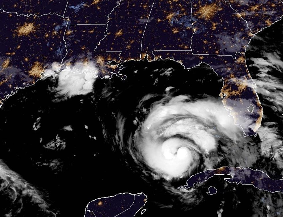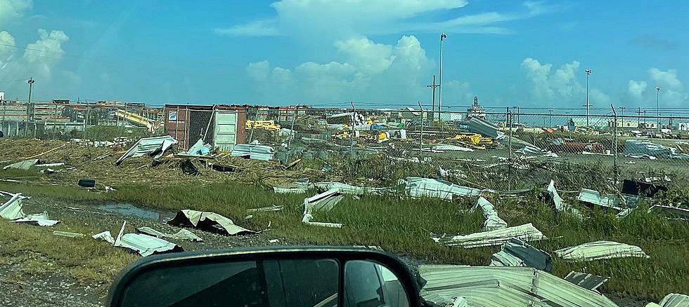
Hurricane Ida: Parish by Parish Breakdown of Expected Impacts
As we await Hurricane Ida's unwelcome arrival, residents across the Acadiana region and the state of Louisiana mainly want to know, "How will the hurricane impact me and my area?"
Well, the National Weather Service in Lake Charles has put out a parish by parish breakdown of the expected impacts across the region as Hurricane Ida makes landfall. These impacts are subject to change should the forecast track or intensity change.
The 10 PM Advisory did mention a slight eastern shift.
That being said, forecasters are still trying to determine if this slightly eastwardly movement is a trend or just part of a back and forth east-west wobble that will leave Hurricane Ida taking the same track as has been projected for much of the last 18-24 hours.
Point is, Ida is expected to be a powerful hurricane - Category 4 or even Category 5 - that's impact is projected to hit parishes throughout Acadiana very hard.
We cannot stress the importance enough of being prepared for Ida’s arrival. Do not take her lightly
Remember to download our station app and activate your Breaking News and Breaking Weather Alerts for the late-breaking news and information instantly.

Here are the parish by parish numbers from the National Weather Service in Lake Charles broken down into four categories - wind and wind gusts, storm surge, rainfall total, and tornado threat.
Parish by Parish Breakdown of Hurricane Ida's Expected Impacts
More From Talk Radio 960 AM


