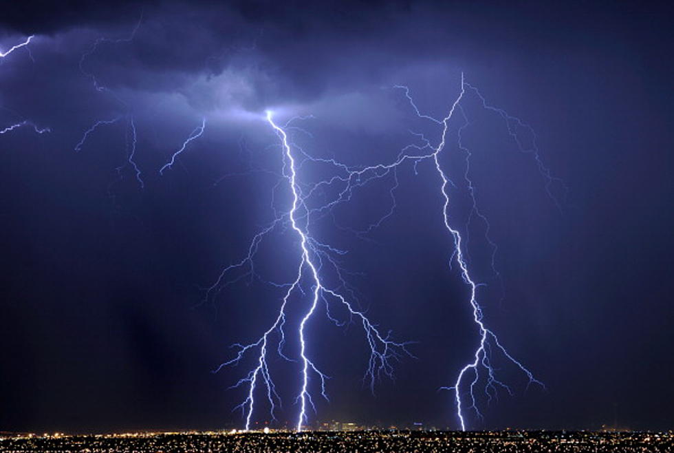
Strong Storms Possible For South Louisiana This Morning
A quick check of the National Weather Service Radar scan from the Lake Charles forecast office will show you exactly where the showers and thunderstorms are located across the area this morning.
Through Sunday evening and into the early morning hours of Monday a line of strong storms, including some severe weather has been pushing southward across the state. Shreveport Weather Service officials are investigating a possible tornado that may have touched down in Bossier City last night.
The Storm Prediction Center has much of South Louisiana in the marginal risk category for severe storms early today. However, forecasters believe that the threat of strong storms will only linger in the area through the morning hours and should pass through the area by early afternoon.
The forecast for the remainder of the work week calls for more typical summer conditions. Forecast high temperatures will reach into the lower 90s while overnight lows will fall to the upper 70s.
All is currently quiet in the tropical Atlantic and no tropical cyclone formation is anticipated for at least the next 48 hours.
More From Talk Radio 960 AM