Trick Or Treat Forecast Looks to be Windy and Cooler
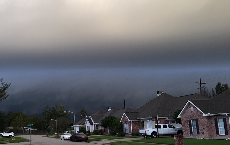
To say it was a strange weekend of weather across Acadiana was an understatement. We had a strong cold front moving through and a tropical system converging with the frontal system in the Gulf. It all combined for a breezy, damp, and cool weekend of weather.
Today most of the clouds associated with that front and the tropical entity will eventually move out of the area. This should allow temperatures to climb into the lower 70-degree range. We should even see some sunshine. Tuesday won't be that bad either with only a couple of scattered showers possible and temperatures holding near seasonal norms.
By late Wednesday and into the early hours of Thursday, Halloween, that's when we should start to see significant changes with our weather. Another strong frontal system is poised to push into Acadiana sometime Wednesday evening. This should kick off showers and storms for the area late Wednesday and into early Thursday.
As of now, the Storm Prediction Center is not suggesting any of these storms will be severe but it does look as if there will be a marginal threat for heavy storms in the area as the frontal boundary approaches and eventually moves on through.
Many of the forecast models have this frontal system moving through the heart of Acadiana about the time you are getting yourself to work and dropping your kids off at school. The good news is the rain associated with this system should clear the area by Thursday afternoon.
The bad news is this. While the rain might be gone, the breeze will have picked up considerably and temperatures will have dropped a lot since the morning hours. We could be looking at roaming the streets in costumes and coats as we will likely have a wind chill to consider during prime candy gathering hours.
The cool weather should stick around for Friday and into the weekend which should make tailgating for UL's Homecoming game perfect for gumbo, chili, or any dish that is warm and sticks to your ribs.
More From Talk Radio 960 AM
![Woman Steals Entire Bowl of Halloween Candy From Front Porch [VIDEO]](http://townsquare.media/site/36/files/2022/11/attachment-Dayton-Ohio-Woman-Steals-Candy.jpg?w=980&q=75)