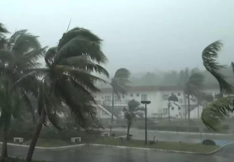
Tropical Storm Fred Weaker Still a Concern for Gulf Coast
Residents of Haiti, the Dominican Republic, Puerto Rico, and Cuba are all waking up this morning to breezy and squally weather conditions. Those conditions are thanks to now Tropical Depression Fred. The minimal tropical storm passed over Hispanola during the day yesterday. And it is expected to continue its same west-northwest motion throughout the day today.

Forecasters with the National Hurricane Center have projected a track for Fred that will bring the system into the Florida Straits, that area of water between Cuba and Key West during the day on Friday. Fred, expected to strengthen back into a tropical storm, is expected to enter the extreme southeastern Gulf of Mexico sometime Saturday morning.
The track model guidance for Fred has been in general agreement about Fred's potential motion over the next few days. As is normal with hurricane spaghetti models, there is a disparity between those models over time.

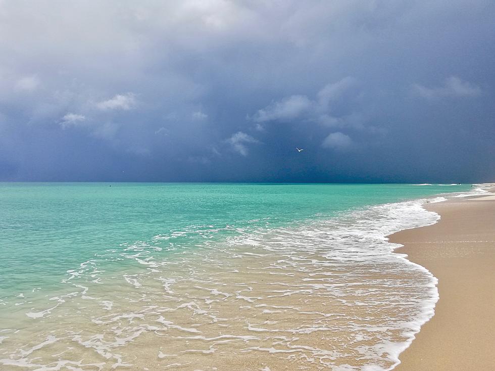
Most of the model guidance suggests Fred will move just off of the west coast of Florida for most of the weekend. The system will bring abundant rainfall to cities like Orlando and Tampa during that time. However, wind impacts from Fred are not expected to be that great.
By early Monday morning, forecasters anticipate Fred will be just off the coast of Florida between Panama City and Appalachicola. The system is expected to impact Florida's coast as a tropical storm.
As far as the effects from Fred we might expect in Louisiana, I would say they will be minimal if at all. Most of the rain and storms associated with Fred are to the east of the center of circulation. There is no portion of Louisiana's coastline that is included in the Hurricane Center's cone of uncertainty. So, it does look as if Fred will be an issue for Florida.

Meanwhile, Fred isn't the only issue in the tropics that the Hurricane Center is monitoring. A strong tropical wave about 1500 miles from the Lesser Antilles has been given a 60% probability of becoming a tropical cyclone. As of now, track model guidance on this system suggests a similar path as the one taken by Fred.
You know, now that the kids are back in school the prices might have come down on this and since Fred will be taking the nasty weather to the east, the might be an even better deal.
Most Expensive Home for Rent in Destin This Summer
More From Talk Radio 960 AM