Tropical Atlantic Busy With Two Developing Storm Systems
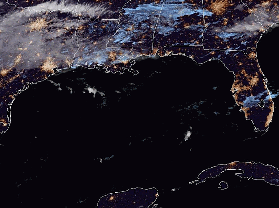
The Summer sun has had a chance to shine on the waters of the tropical Atlantic Basin. That warm sunshine has elevated water temperatures and that's when tropical systems start to heat up as well. Such is the case this morning in the tropics. There are two different systems that are under the watchful eye of the National Hurricane Center.
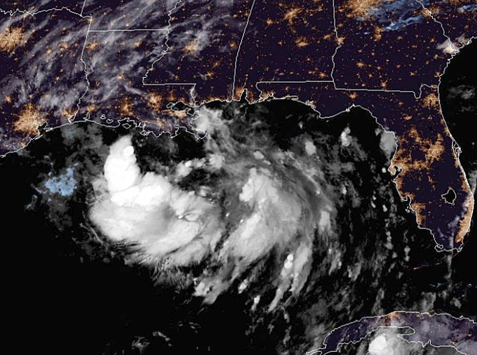
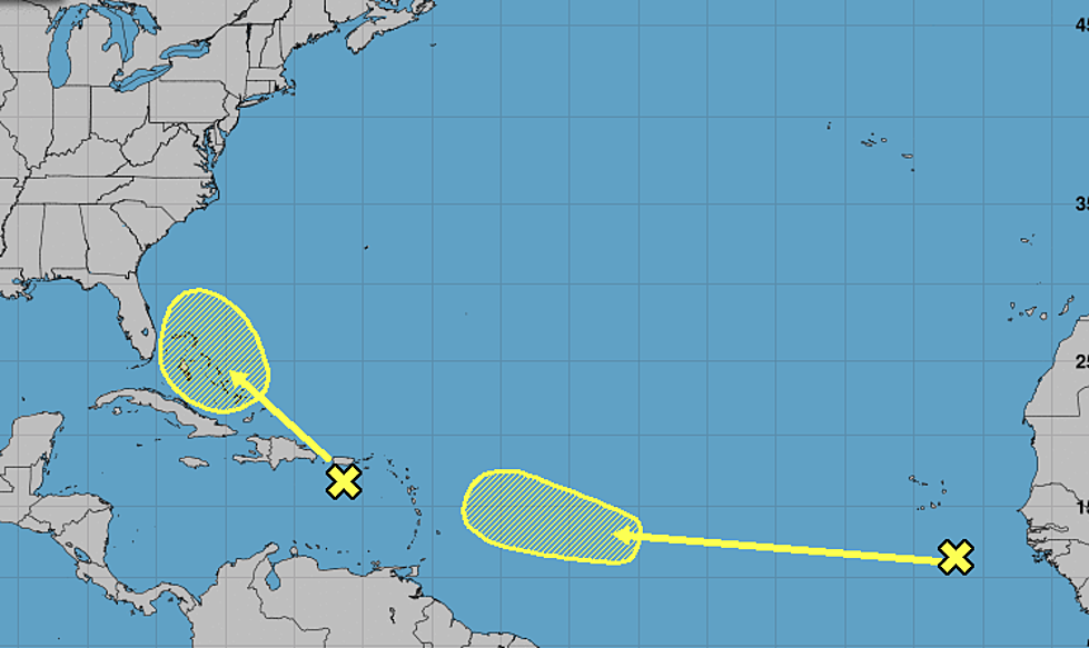
The system that is closest to the United States is actually in the eastern Caribbean Sea south of Puerto Rico. Forecasters believe this disorganized area of convection will slide to the north over the island of Puerto Rico and over the islands of the Bahamas during the next five days.
Forecasters give this system a minimal chance of strengthening, about 10% over the next five days. Regardless of the showers and storms associated with this area of disturbed weather could bring tropical downpours to the Florida coast by later this week.
The second storm system is just off the coast of Africa. This area near the Cape Verde Islands is expected to have difficulty developing as well. Forecasters do anticipate the system will slide westward toward the Lesser Antilles by this weekend. The probability of strengthening into a tropical cyclone is listed at 20% over the next five days.
Although the forecast for both of these systems calls for minimal development potential the Hurricane Center will monitor them for further development during the week.
More From Talk Radio 960 AM