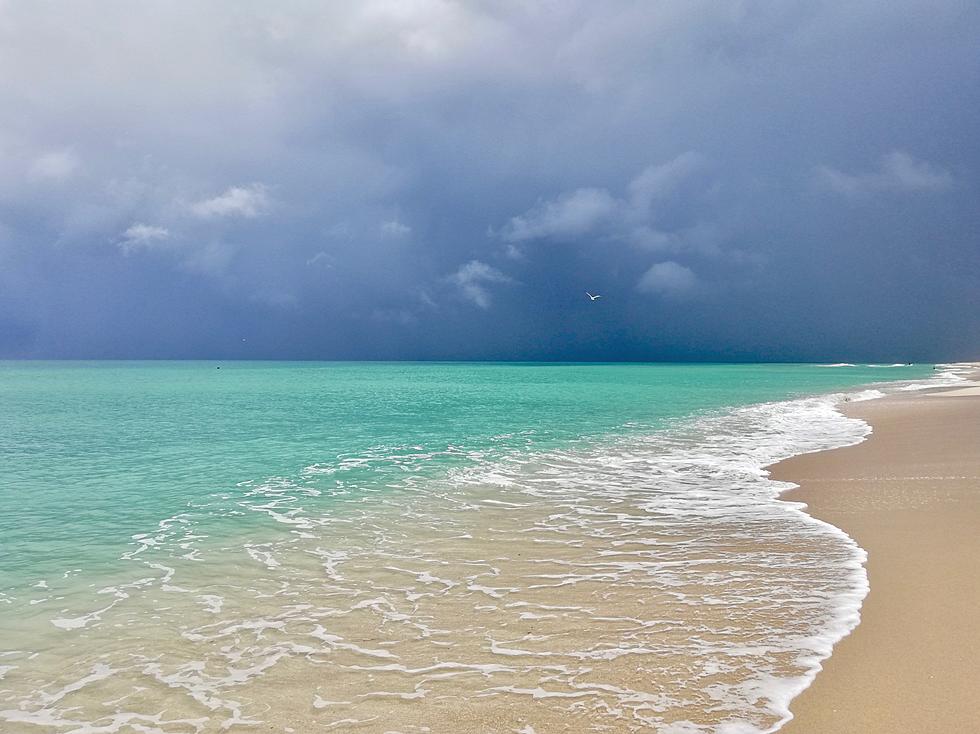
Tropical System Could Threaten The Gulf Later This Week
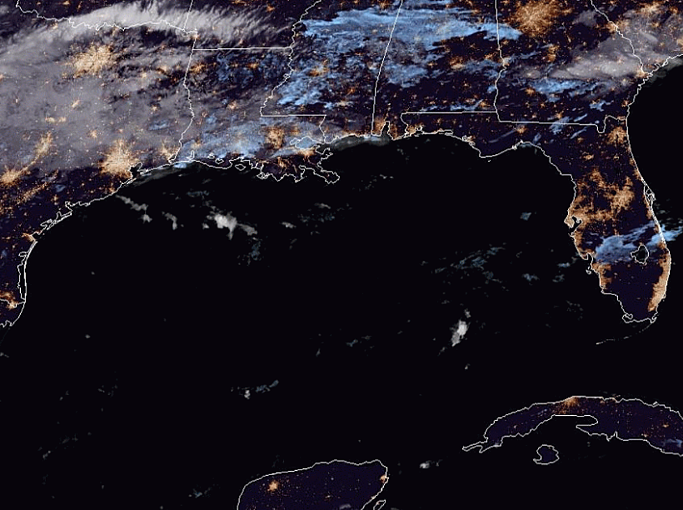
Forecasters with the National Hurricane Center are monitoring an area of disturbed weather in the eastern Caribbean Sea this morning. This tropical wave does have the potential to strengthen over time as it moves in the general direction of the Florida Peninsula.
Forecasters are not giving this system much of a chance to actually spin up into a tropical cyclone over the next five days but the potential for development is there. That is why the system is being monitored.
On the current forecast track, this system is expected to move north and west over or between the islands of Puerto Rico and Hispanola. From there tropical guidance models suggest the system will move from southeast to northwest over parts of the Bahamas.
By the end of the week, the system should be just to the south of the southern tip of Florida. The model solutions are inconclusive as to whether or not the system, should it develop further, will move into the Gulf of Mexico, over the peninsula of Florida or to the east of Florida into the Atlantic Ocean.
This is certainly a system that would bear watching especially if it begins to show signs of further development over the next few days.
More From Talk Radio 960 AM