Tropics Heat Up – Weekend Flooding Still Possible In Acadiana
It is August and the peak of the Atlantic Hurricane Season is now just two and a half weeks away. So it's no surprise that tropical forecasters are seeing more activity to monitor and track. Such is the case with one named system, a storm system that could earn a name, and a system that will likely go unnamed but could be remembered for its prodigious amounts of rainfall.
Let's take them in order.
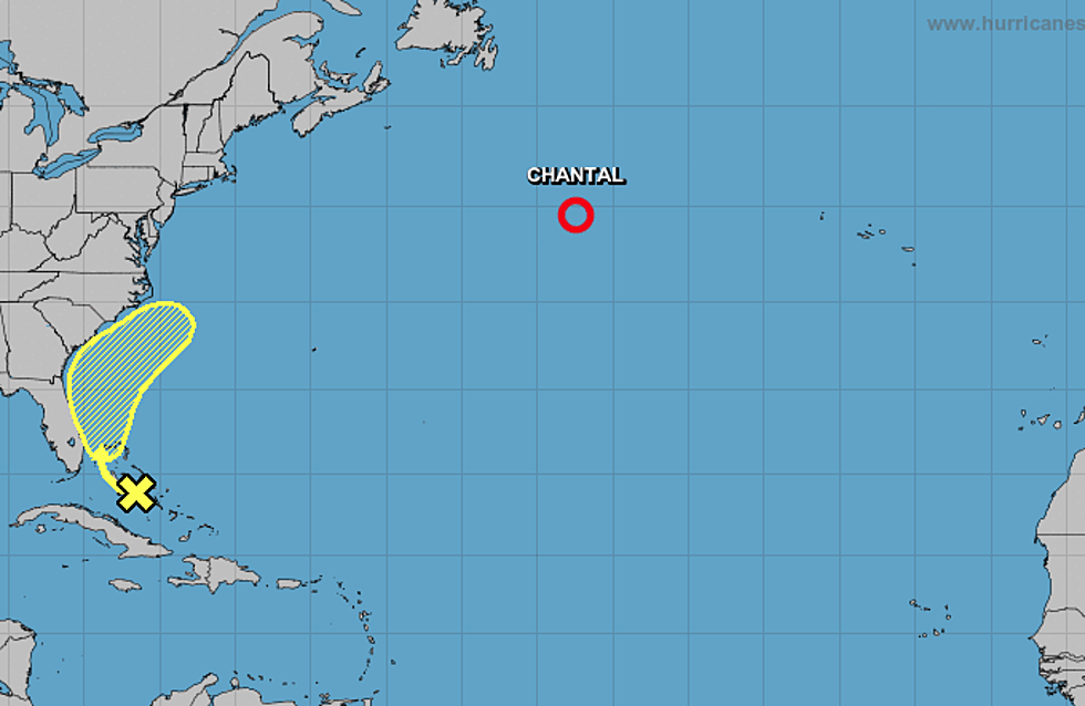
The named system is now Tropical Depression Chantal. The system was upgraded to tropical storm status yesterday but has since been downgraded to depression status. Forecasters do not see Chantal remaining as a tropical entity for too much longer as it churns away in the cooler waters of the northern Atlantic ocean.
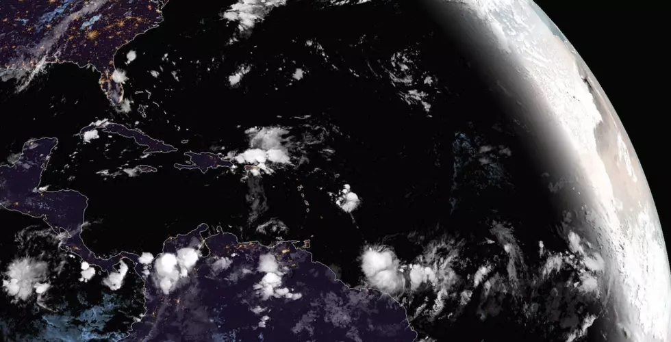
The second system is an area of disturbed weather in the Bahamas off the eastern coast of Florida. This system is not given a huge chance to strengthen but it will be a rainmaker for the eastern seaboard over the next several days. Forecasters believe the system will move as far north as the Outer Banks of North Carolina before it makes a turn out to sea.
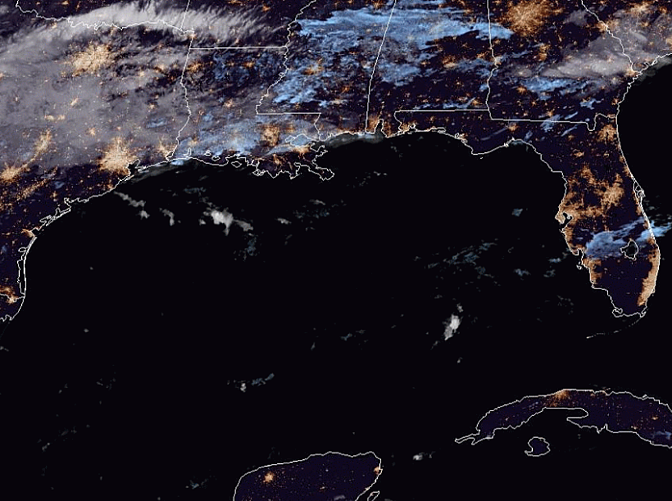
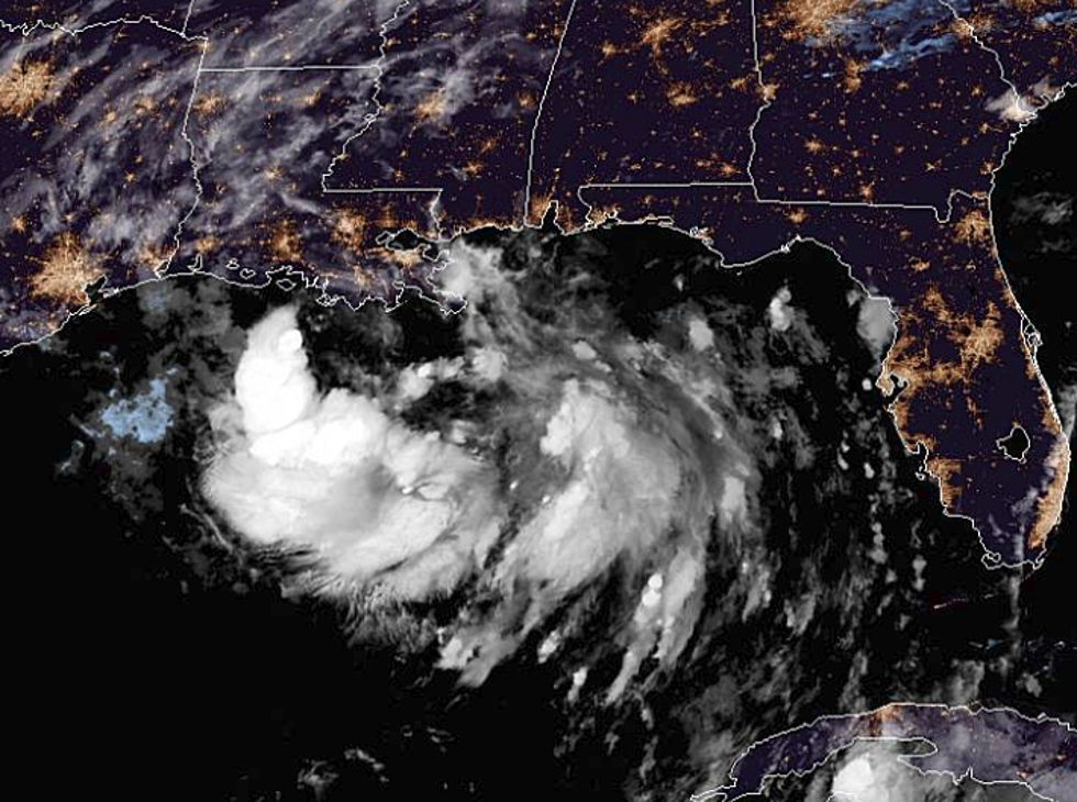
The third system is the one that is most likely to affect your weekend plans. It's a tropical wave in the western Gulf of Mexico. This wave of abundant tropical moisture is expected to approach the Louisiana coastline late Friday into Saturday. It will kick off abundant rainfall across the state's I-10 corridor for most of the weekend. However, it does now look as if the heaviest rainfall totals will fall to the east of Acadiana.
Model forecasts predict our part of the state could see an inch to three inches of rainfall between now and the beginning of next week. Heavier totals will likely occur over the Atchafalaya Basin through Baton Rouge and especially in the New Orleans area. Forecasters do not believe this system will strengthen into a tropical cyclone but it still bears watching.
More From Talk Radio 960 AM